Surveying or land surveying is the technique, profession, art and science of determining the terrestrial or three-dimensional positions of points and the distances and angles between them. A land surveying professional is called a land surveyor. These points are usually on the surface of the Earth, and they are often used to establish maps and boundaries for ownership, locations, such as building corners or the surface location of subsurface features, or other purposes required by government or civil law, such as property sales.
There are different types of land surveys. At Water Solutions, we can do the following types of surveys:
Topographic Surveying.
As-Built Surveys.
Geodetic Control Surveys.
Cadastral Surveying.
Land Registration surveys.
Utility Surveys.
Building Surveying Monitoring and deformations. Elevations Plans and Volume Calculations
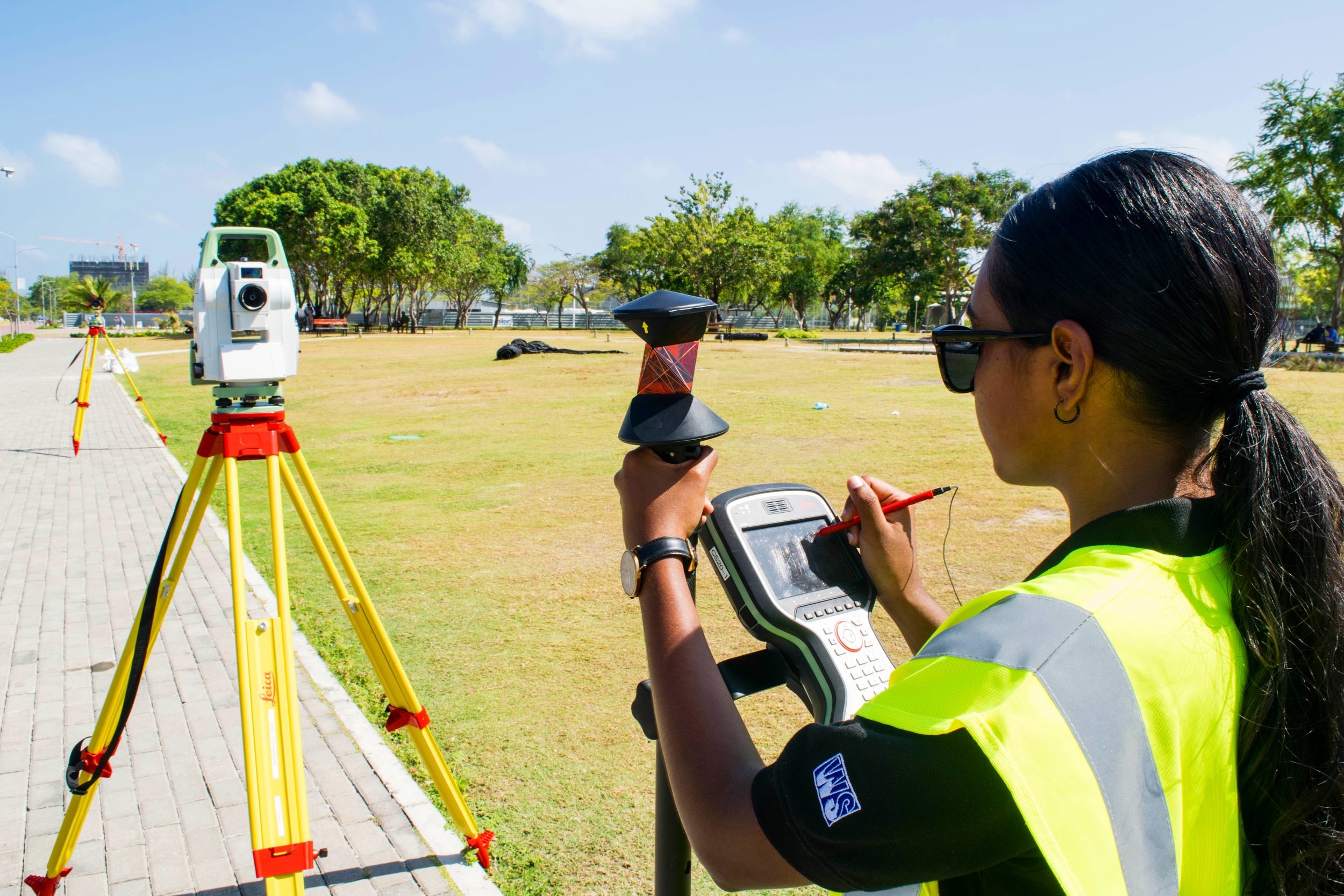
Topographic Surveying
Topographic Survey
This is considered mapping at scales larger than 1:1000 or in other words detail surveying. This is the most common type of surveys that are done in the Maldives. Topographic Survey is required mainly for planning, engineering, construction, environmental impact assessments and sometimes for legal purposes.
Water Solutions is one of the few companies in the country who can provide highly accurate surveying and mapping services. We have vast experience in the industry than our competitors. We believe that our strong edge in doing business is to understand our client’s requirements and specification to its highest degree. Water solutions can manage large sites, more complex constructions, dredging and reclamation projects and other complex projects on our own.


Topographic Survey services Include the following.:
Full Feature Surveys.
Minimal Feature Survey ( most economical option).
Topography for Harbour Development.
Topography for Sewerage System Development
Topography for Road Development.
Topography for Resort Development.
Topography for Resort Re-development.
Topography for Housing Development.

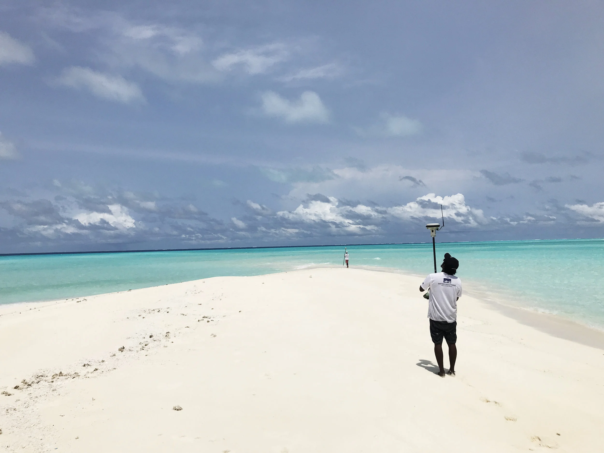
Geodetic Control Surveying
Geodetic Control Surveying
Today most of the Primary Control Networks are established using using GNSS ( GPS+ GLONAS). Water Solutions is fully equipped with the latest survey Leica GNSS instruments and post processing software and can carry out all aspect of GNSS surveying. We can collect precise static base-station observations to provide fully adjusted co-ordinated solutions for large scale mapping and major projects as well as undertaking real-time detailed surveys or setting-out .
Primary Control networks
Monitoring Points
Setting-Out
Static and Real-Time observations
Survey Control Stations
Photo Control
Permanent Survey Markers PSM
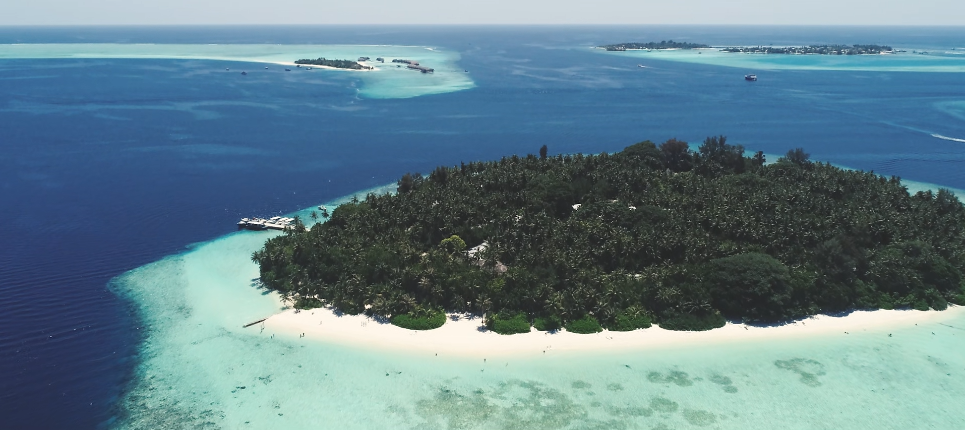
An overview of how we undertake a topographic survey and the use of technology in achieving the highest standards.
Land Survey
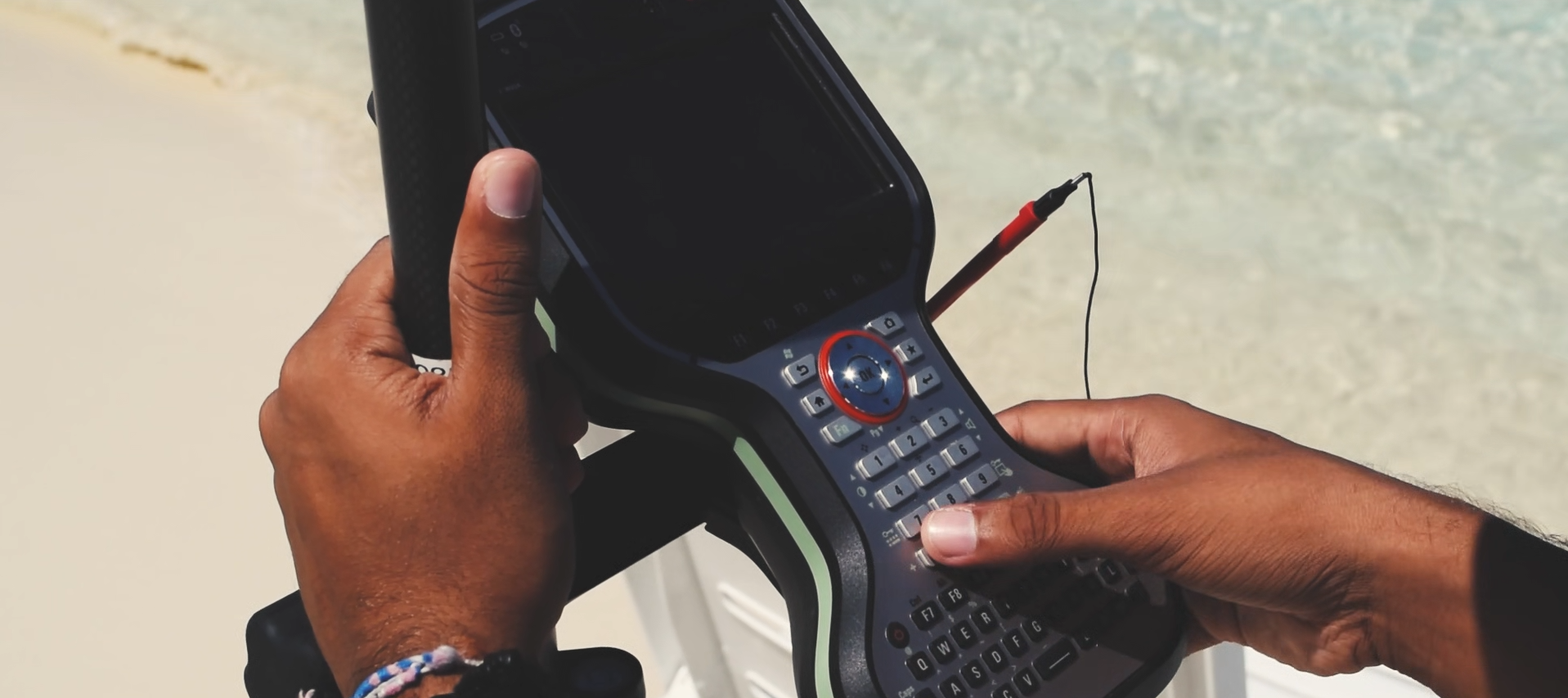
A short clip demonstrating some of the land surveying work that was done at Hondaafushi Island Resort